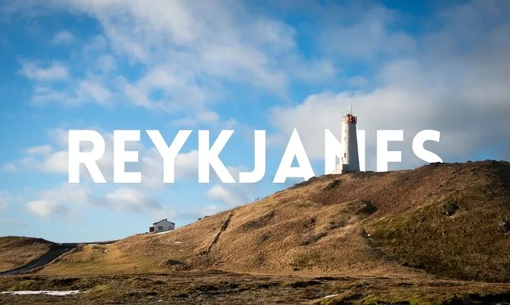
Private Reykjanes UNESCO Global Geopark Tour

+15 photos
The Reykjanes peninsula is a 2,000 km² (772 mi²) area characterized by various formations of palagonite tuff, pillow lava, and basaltic lava flows shaped by volcanic activity during interglacial periods, mostly in the last 11,500 years. The Mid-Atlantic Ridge rises above sea level on this peninsula and it is lined with four volcanic systems from SW to NE, containing craters, faults, open volcanic fissures, large and small lava shields, and high-temperature geothermal fields. Fisheries have long been a lifeline of the locals, with fishing towns and villages along the black sanded coastline, some even dating back centuries.
In 2015, Reykjanes was recognized as a Global Geopark by UNESCO for its geological heritage in connection with the area's natural and cultural heritage. UNESCO Global Geoparks have sites and landscapes of international geological significance, managed with a holistic concept of education, protection, and sustainability.
Please select a date
Activity package
to get availability.
Facilities
 Free cancellation
 Mobile voucher accepted
 8 hours
 Available in English
Important information
Service animals allowed. Public transportation options are available nearby. Suitable for all physical fitness levels